
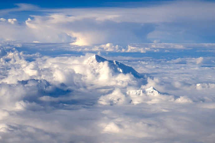
A recent satellite-based study has uncovered alarming declines in groundwater storage across High Mountain Asia (HMA), widely known as the "Asian Water Tower". This critical water source, which sustains agricultural irrigation, urban water supplies and ecological security for hundreds of millions of people in more than a dozen downstream countries, is depleting at a staggering rate of approximately 24.2 billion tonnes per year.
Led by Prof. WANG Shudong of the Aerospace Information Research Institute of the Chinese Academy of Sciences (AIRCAS), the study addresses the challenges of data scarcity and complex terrain in the region. Its findings were recently published in Environmental Research Letters.
The research team developed an artificial intelligence (AI)-powered assessment model by integrating multi-source satellite observations, Earth system modelling and explainable AI. This enabled them to reconstruct two decades of groundwater storage (GWS) changes, identify the dominant driving factors, and conduct forward-looking risk scenario analyses.
The study finds that roughly two-thirds of HMA experienced groundwater storage declines between 2003 and 2020. The most significant drops were recorded in densely populated, irrigation-intensive downstream basins, including the Ganges–Brahmaputra, Indus and Amu Darya basins. By contrast, some high-elevation inland regions saw localized recoveries in groundwater storage.
Climatic factors account for nearly half of the observed variability in GWS, with the cryosphere playing a prominent role. Human water withdrawals, however, particularly in downstream irrigation zones, have become an increasingly major contributor to groundwater depletion—a trend that accelerated after 2010.
Furthermore, projections indicate that this downward trend will persist under current water-use practices. While glacier melt may temporarily slow groundwater losses in some areas around the 2060s, this "buffer effect" is unsustainable and is likely to be followed by a more rapid decline. If existing water-use patterns remain unchanged, a faster rate of depletion is expected, placing downstream agricultural zones at an even greater risk.
The study adopted a knowledge-guided, data-driven assessment framework that leverages multi-sensor satellite data to retrieve GWS changes over the past 20 years. The framework utilises a lightweight Transformer architecture to capture hydrological memory and lag effects in mountainous catchments. Explainable machine learning techniques were also applied to provide mechanistically consistent attribution of the detected GWS changes. All results were cross-validated against thousands of groundwater well measurements and independent datasets, further bolstering the reliability of the study's conclusions.
This new framework integrates remote sensing with physical hydrological knowledge and AI interpretability, effectively overcoming the challenges posed by the region's complex terrain and incomplete human water-use data.
The research was funded by the National Key R&D Program of China and the Key Program of the National Natural Science Foundation of China (NSFC).

Basin extent and hydrological characteristics across High Mountain Asia, and the lightweight deep-learning framework employed in this study. (Image by AIRCAS)
Scientists from around the world have assessed the planet's 78 mountain glacier-based water systems. For the first time, they ranked them in order of their importance to adjacent lowland communities while assessing their vulnerability to future environmental and socioecon...

Researchers from the Xinjiang Institute of Ecology and Geography evaluated the projected changes in mean snowfall, snowfall days, and snowfall fraction for the years 2070-2099 relative to 1976-2005, under the Representative Concentration Pathway 4.5 (RCP4.5) and 8.5 (RCP8...

86-10-68597521 (day)
86-10-68597289 (night)

52 Sanlihe Rd., Xicheng District,
Beijing, China (100864)
Copyright © 2002 - Chinese Academy of Sciences


