
Newsroom


Imagine trying to predict wind patterns as air flows across a landscape. It's a straightforward task over a flat plain—but becomes more complex when the terrain shifts to jagged mountain ranges. Here, wind does not simply sweep over peaks; it is deflected, slowed, and forced into gravity waves.
For computer models that forecast global weather, this "drag effect" from complex terrain is a major source of error. Traditional models rely on a simplified "eight-direction" terrain map (known as the 8X scheme), which categorizes mountain orientations like a basic compass: North, Northeast, East, Southeast, South, Southwest, West, and Northwest. When wind shifts to a direction between these eight points, the model’s terrain representation "jumps", creating errors that ripple through the entire forecast. This is one key reason weather predictions are less reliable in mountainous regions.
To address this challenge, a research team from the Institute of Atmospheric Physics of the Chinese Academy of Sciences has developed an "All Flow Directions" (AFD) scheme. This innovation allows weather models to calculate the shape and steepness of mountain terrain continuously for any wind direction, eliminating the "jump" of traditional models and providing a far more realistic simulation of how wind interacts with the ground.
"Think of it as upgrading from a basic compass to a precision instrument that can pinpoint any azimuth for mountain terrain," said Dr. TIAN Yuhang, lead author of the study.
The team tested the new model over the Qinghai-Tibet Plateau and discovered that the AFD scheme improved the accuracy of stratospheric wind pattern simulations by 10–20%, which is critical for shaping large-scale weather systems.
The researchers noted that the AFD scheme's ability to map terrain more realistically allows models to better simulate how winds are slowed and redirected as they cross mountains. This creates a more accurate "starting point" for predicting a range of meteorological phenomena, including cross-mountain airflow and mountain precipitation.
Recently published in Journal of Geophysical Research: Atmospheres, the study provides new technical support for predicting severe weather in complex terrains, managing water resources in mountainous regions, and understanding regional climate change in some of the planet's most sensitive environments.
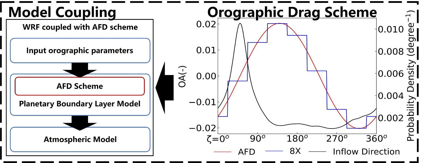
A schematic diagram of the coupling of the orographic drag scheme considering anisotropy within the WRF model framework. (Image by TIAN Yuhang)
