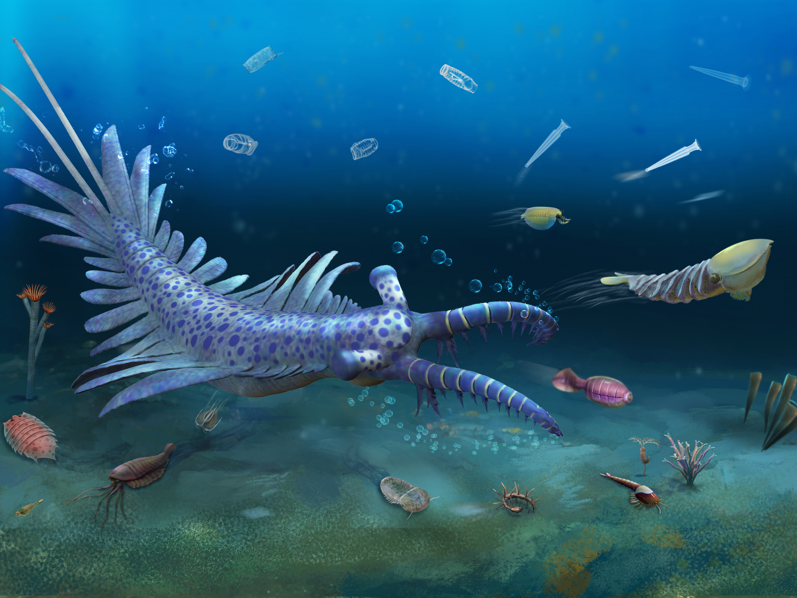

While paleontologists have uncovered dozens of such Cambrian soft-bodied fossil sites—including China's early Cambrian Chengjiang biota in Yunnan and Canada's middle Cambrian Burgess Shale biota, the most famous examples of their kind—no equivalent top-tier soft-bodied fossil deposit had ever been found from the critical post-Sinsk Event time interval. That changed over the past five years, however, with the discovery of the Huayuan biota—a world-class soft-bodied fossil deposit dating to shortly after the Sinsk Event.
A research team from the Institute of Geochemistry of the Chinese Academy of Sciences, together with collaborators, used complementary molecular dynamics simulations, combining ab initio and deep-learning potential methods. Their findings reveal that under deep lower mantle and core–mantle boundary (CMB) conditions, water and the key hydrous mineral δ-AlOOH enter a superionic state—which combines features of a solid crystal lattice with liquid-like mobile ions—thereby fundamentally altering their stability and dehydration behavior.

A research team led by the Institute of Atmospheric Physics of the Chinese Academy of Sciences (CAS) has confirmed that lunar observations provide a unique solution to accurately capturing Earth's outgoing radiation—an essential step in understanding the planet's radiation budget, which is closely tied to global climate and environmental changes.
Using in situ liquid-phase transmission electron microscopy under conditions that excluded the influence of dissolved oxygen and electron beams, scientists have achieved the first nanoscale, real-time observation of the reaction between pyrite and gold-bearing solutions, providing critical insights into gold enrichment by pyrite.

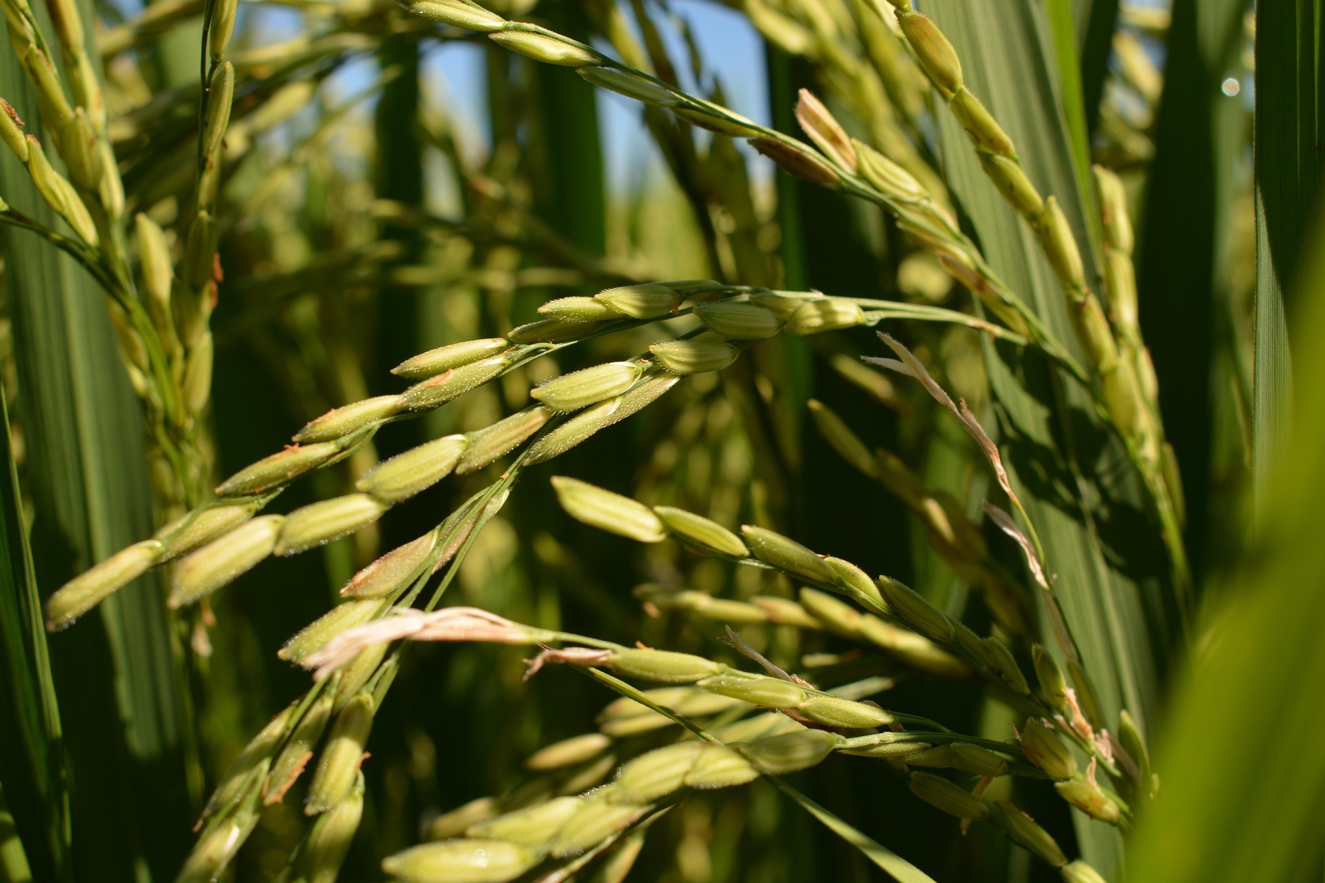
A research team led by Prof. ZHU Chunwu from the Institute of Soil Science reports that the CO₂ fertilization effect on rice growth and yield depends heavily on the number of generations exposed to elevated CO₂ conditions. Accurately predicting rice productivity in a future high-CO₂ world requires studying the effect of multigenerational exposure to elevated CO₂ on rice yield.
Researchers led by Prof. XUE Xian from the Northwest Institute of Eco-Environment and Resources have shown that increasing soil salinity is systematically reshaping the storage and distribution of soil inorganic carbon, providing the first comprehensive global assessment of how soil salinization influences inorganic carbon storage and highlight its implications for the global carbon cycle.

86-10-68597521 (day)
86-10-68597289 (night)

52 Sanlihe Rd., Xicheng District,
Beijing, China (100864)

