Newsroom
Shallow seas serve as critical transition zones connecting land and the deep ocean, supplying essential resources for navigation, fisheries, energy exploration, and island reef development. Accurate bathymetric data form the foundation for marine engineering, channel safety, resource assessment, and ecological restoration. However, nearly 50% of global shallow-water areas still lack reliable depth information, creating a major barrier to coastal management and sustainable ocean development.
To tackle this challenge, a research team led by Prof. NIE Sheng from the Aerospace Information Research Institute of the Chinese Academy of Sciences (AIRCAS) has developed a new bathymetric mapping framework. This framework integrates the indirect inversion of land Elevation Satellite-2 (ICESat-2) LiDAR data with multi-source remote sensing observations. By combining wave-based indirect bathymetry, multi-source feature fusion, and a temporal sample-transfer strategy, it achieves high-accuracy, wide-coverage mapping in optically complex shallow waters.
The study was recently published in Remote Sensing of Environment.
Satellite laser altimetry is currently the most precise technique for remote bathymetry, as it can capture both water surface and seabed elevations. Yet its application remains limited due to signal attenuation in turbid waters and the low generalization ability of optical inversion models. To overcome these issues, the team designed a multi-component framework that fully leverages the complementary advantages of optical, synthetic aperture radar (SAR), and LiDAR observations.
The core of the framework is the Progressive Adaptive Window for Local Period (PAWLP) method, which enables wave-based indirect bathymetry using ICESat-2 data. By setting adaptive analysis windows along photon tracks, PAWLP dynamically matches local wave fluctuations to extract representative wave periods. Using linear wave theory, it then estimates water depth—even in regions where seabed echoes are absent. Compared with conventional fixed-period approaches, PAWLP maintains higher accuracy and stability across diverse water conditions, improving the spatial consistency and robustness of bathymetric results.
To expand coverage beyond areas detectable by LiDAR, the researchers introduced a temporal sample-transfer strategy that reuses ICESat-2-derived reference points across multiple time phases. By integrating Sentinel-2 optical imagery, SAR texture features, tidal height, and tidal current velocity, the framework fuses multi-source and multi-temporal information within a random forest regression model. Validation against reference measurements shows strong agreement in both turbid and clear waters, significantly enhancing the accuracy of depth retrieval and spatial continuity.
The new framework expands the spatial coverage and depth range of bathymetric inversion, particularly in turbid waters, enabling more accurate and reliable mapping of coastal seafloor topography. These advancements provide valuable support for coastal monitoring, management, and a wide range of marine applications.

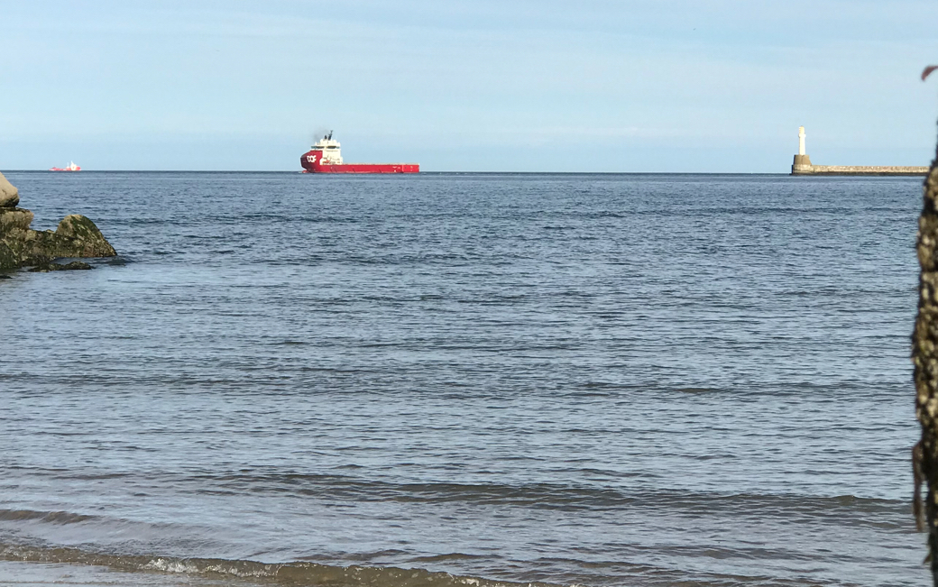
Scottish coast of the North Sea. (Image by AIRCAS)
