
China Remote Sensing Satellite Ground Station (RSGS), a major national S&T infrastructure hosted by the Aerospace Information Research Institute (AIR) under the Chinese Academy of Sciences (CAS), confirmed on April 21 that it received data from the newly launched atmospheric environmental monitoring satellite.
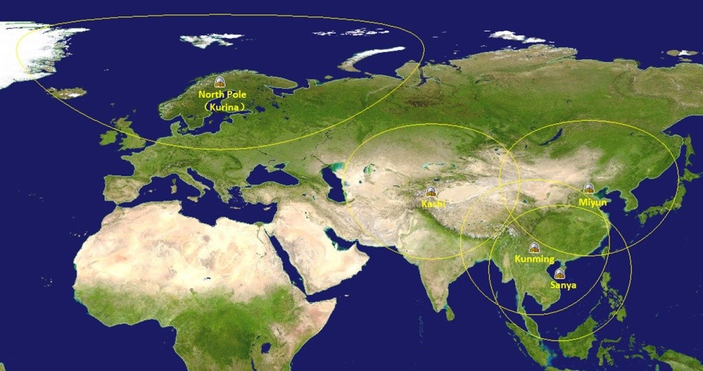
At 11:46 a.m. that day, the Miyun Station at the outskirts of Beijing successfully tracked and received the first-track downlink data from the satellite. Then, the Sanya Station in southern China conducted data reception at 1:17 p.m. and 2:55 p.m.
A total of about 133 GB of satellite data was well received and processed, and the total data duration of the three receiving tasks is 24 minutes and 24 seconds.
The science satellite, also known as DQ-1, is the world’s first satellite using LiDAR (light detection and ranging) technology to detect carbon dioxide, or CO2.
Launched on April 16 as part of China’s civil space infrastructure, DQ-1 will track fine particles, pollutants, greenhouse gases, clouds, and aerosols in the atmosphere, plus land surfaces and water bodies.
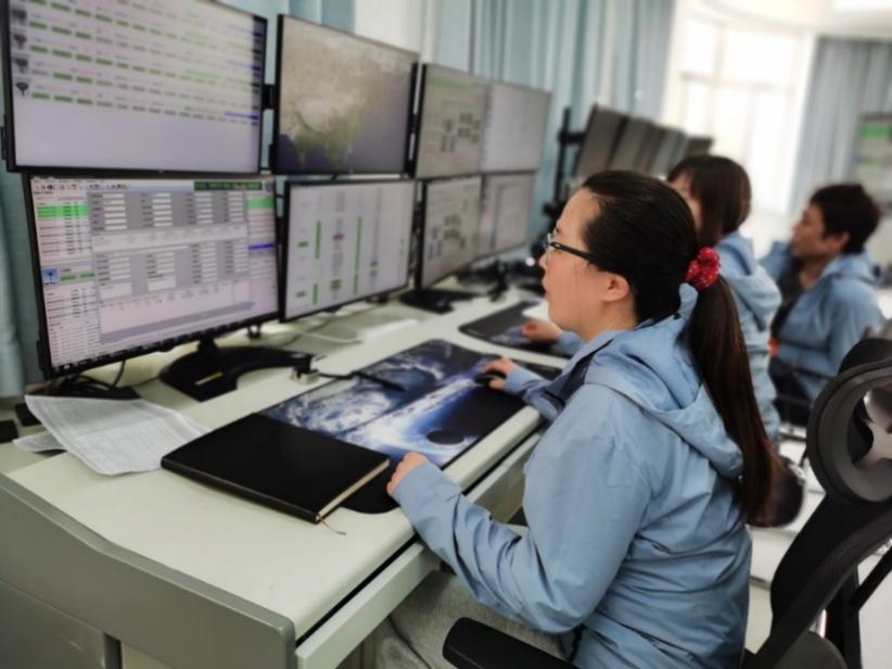
Engineers at the Miyun Station working on the first track data reception of the satellite. (Image by AIR)
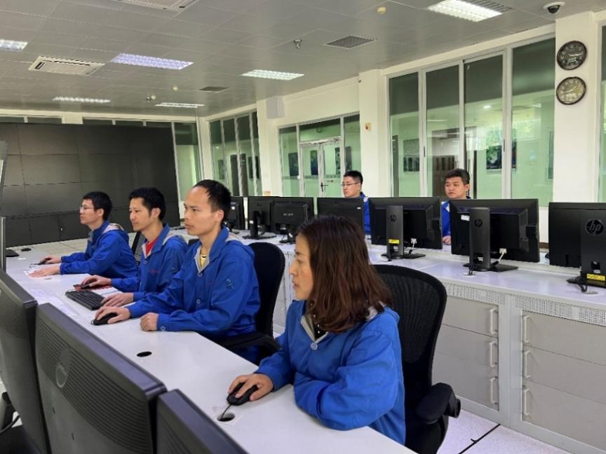
Engineers at the Sanya Station working on the data reception. (Image by AIR)
The Institute of Aerospace Information Research has helped 10 countries install virtual ground stations, it said in a report Tuesday. The report was released at the fourth International Symposium on Earth Observation for Arid and Semi-Arid Environments, which began in Xining, capital of China's northwestern Qinghai Province, on Monday.
The China Remote Sensing Satellite Ground Station has successfully received the first data transmitted from the newly launched resource satellite ZY-1 02E, the Chinese Academy of Sciences (CAS) said Monday.

86-10-68597521 (day)
86-10-68597289 (night)

52 Sanlihe Rd., Xicheng District,
Beijing, China (100864)
Copyright © 2002 - Chinese Academy of Sciences


