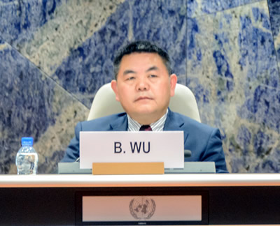
In the face of climate change, many developing countries need better technology to help them predict crop yields to ensure secure sources of food. The Chinese Academy of Sciences' Institute of Remote Sensing and Digital Earth offers a solution with "wall-to-wall" measurements of agronomic and climatic conditions - all made available through its CropWatch web service. The scientist who runs it, Bingfang Wu, visited the UN's Commission on Science and Technology for Development, convened by UNCTAD in Geneva, Switzerland on 23-25 January, to discuss what the service has to offer.
 Q: Could you give us a brief introduction to the technology of remote sensing?
A: Actually remote sensing is a methodology that provides unique observation of the Earth's surface. Before, we used conventional measurements to obtain data from a few points but remote sensing can provide "wall-to-wall" measurements in the field, so it gives you more information to understand the dynamic changes on the ground at the Earth's surface.
Q: Could you tell us about your global crop monitoring system CropWatch?
A: We developed CropWatch for global users to monitor the crop situation all over the world. You see, food security is the essential issue for the human being. Food prices have been volatile over the past 10 years. One of the reasons is that people lack information on food productivity and people are nervous about the availability of food. There is sufficient food supply but people lack information. This gives rise to an opportunity to speculate on the market, which hurts human welfare. So we provide transparent, reliable information for the world, but particularly for China.
We use satellite and in-situ data to evaluate the global agro-climate situation to see how it affects global production and monitor cropping intensity and stress in different regions, monitoring disease and water supply and so on. We also monitor crop condition and production for 31 countries representing 80% of global grain production. This information can help developing countries to know what the situation is. We provide this information but also the methodology so that developing countries can use CropWatch the same as we do.
Q: How can remote sensing contribute to early warning systems?
A: Crop production depends on two things: how many hectares you have planted and the yields of the crops. For both we can provide information at early stages. It can provide information that the land is used properly for the crops at early stages of the cropping season.
Q: How can the United Nations, either through the Committee on Science and Technology for Development or UNCTAD, contribute to international efforts on remote sensing and early warning systems?
A: We provide a service to United Nations Economic and Social Commission for Asia and the Pacific (UNESCAP) regional drought mechanisms by training people from developing countries and providing services if requested. UNESCAP has sent them to my office, and we are working together to develop methodologies and customize systems for the local conditions of their countries. We train them to operate, calibrate and validate the systems so that they are capable of putting into place their own early warning systems. This could also be made available through the CSTD. We are happy to work with the Committee on CropWatch and the early warning systems. We would be happy to work with countries in Africa or the Middle East through the CSTD. (United Nations Conference on Trade and Development)

86-10-68597521 (day)
86-10-68597289 (night)

52 Sanlihe Rd., Xicheng District,
Beijing, China (100864)

