
Newsroom


A research team from the Chinese Academy of Sciences (CAS) has successfully completed field tests of a newly developed, unmanned vehicle-mounted glacier penetrating radar on the Bayi Glacier in the central Qilian Mountains. The tests, conducted between October 10 and 25, 2025, demonstrate a significant advancement in autonomous glacier monitoring technology.
Developed by the State Key Laboratory of Remote Sensing and Digital Earth in collaboration with the Laboratory of Electromagnetic Radiation and Detection Technology at the Aerospace Information Research Institute of CAS (AIRCAS), the radar system utilizes a novel, low-power digital design. This allows for high-precision, fine-scale measurements of glacier thickness with reduced energy consumption.
During the field tests, the team conducted extensive high-resolution surveys across tens of kilometers of the glacier, with millimeter-level measurement intervals. The system achieved a 100% data acquisition rate, penetrating over 100 meters into the ice and capturing clear images of the ice-bedrock interface and subglacial terrain.
The radar’s performance represents a significant improvement in detection efficiency, data accuracy, and energy performance compared to conventional glacier monitoring instruments. It also proved reliable under the extreme high-altitude and low-temperature conditions of the Qilian Mountains, supporting long-term observations.
The new technology enhances both the efficiency and spatial coverage of glacier monitoring. By providing key data on glacier thickness and subglacial features, it will contribute to a better understanding of water reserves in the region, often referred to as the "Asian Water Tower."
It has important implications for understanding global climate change, managing water resources, and protecting fragile alpine ecosystems.
Bayi Glacier, also known as Xiaoshalong Glacier, is situated on the southern slope of the Nansha Mountains in the central sector of the Qilian Mountains, a major mountain range in northern China that forms the northeastern edge of the Qinghai-Tibet Plateau and plays a crucial role in regional water resources and climate regulation.
As the largest glacier in the headwaters of the Heihe River—China's second-largest inland river— the glacier stretches 2.2 kilometers, covers 2.81 square kilometers, and ranges in elevation from 4,520 to 4,828 meters. Its size and location make it an ideal site for testing and demonstrating the capabilities of the unmanned glacier penetrating radar.
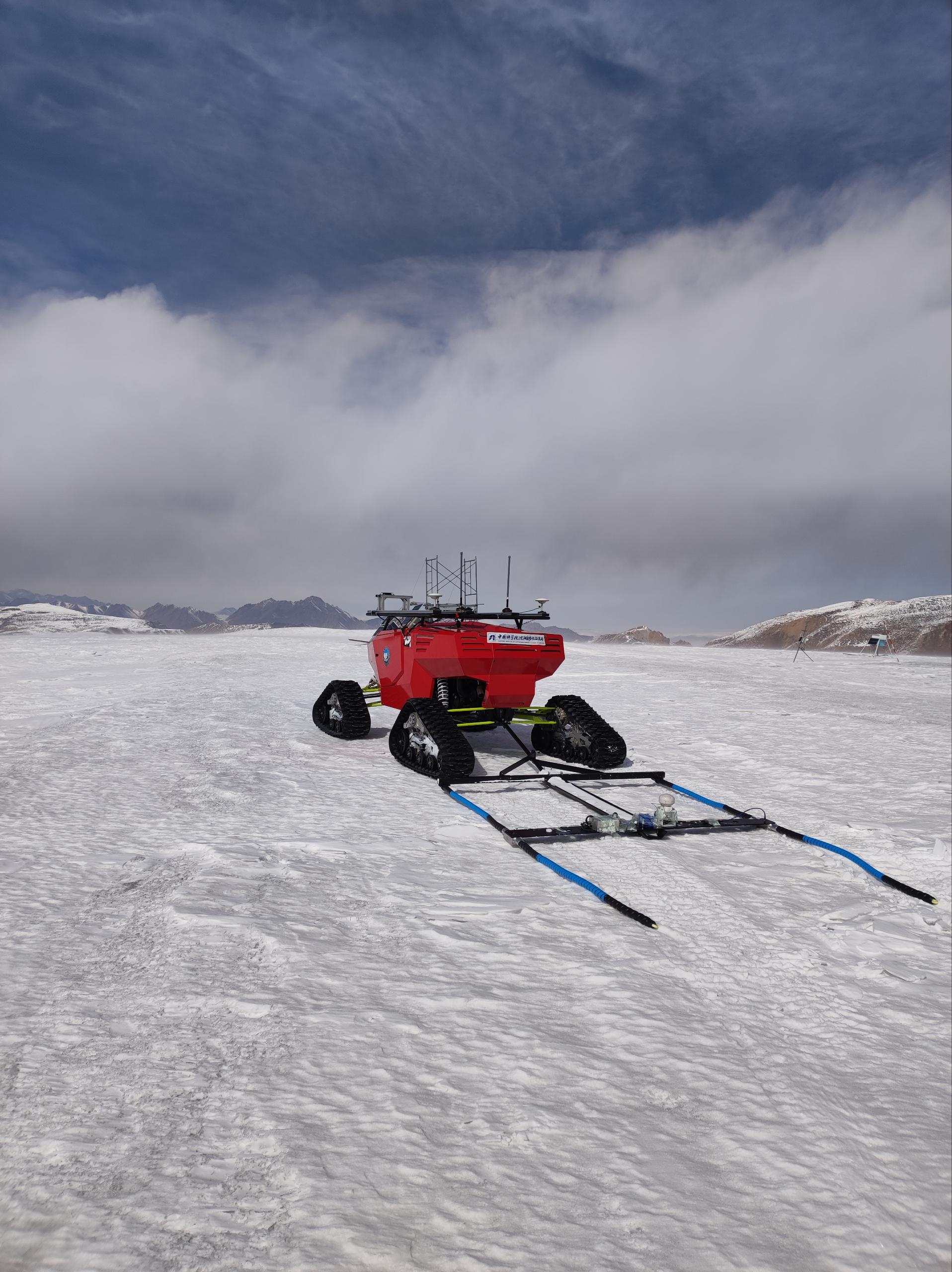
The unmanned vehicle-mounted glacier penetrating radar. (Image by AIR)
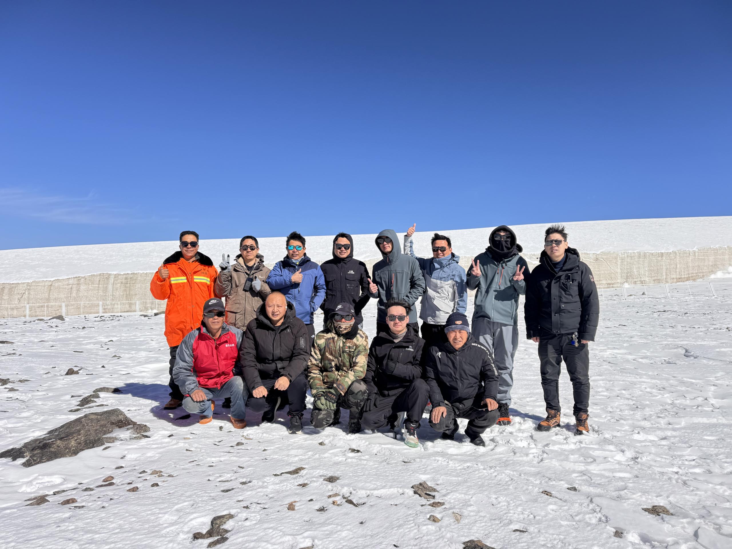
A group photo of the joint expedition team. (Image by AIR)
