Newsroom


The life cycle assessment (LCA) is a comprehensive tool to quantify the potential environmental impact, that is, the environmental footprint (ecological footprint, carbon footprint, resource footprint, etc.), from a cradle-to-grave perspective.
However, the conclusions drawn from the traditional LCA method may be misleading due to the lack of spatial information. Thus, the integration of geographic information system (GIS) into LCA is considered a promising candidate to spatialize the environmental footprint.
Researchers from the Qingdao Institute of Bioenergy and Bioprocess Technology (QIBEBT) of the Chinese Academy of Sciences (CAS) have proposed a universal methodology framework of GIS-LCA for the first time, which is supposed to improve the standard framework of LCA proposed by the International Standardization Organization (ISO14040).
The study was published in Journal of Cleaner Production on Sept. 29.
The proposed GIS-LCA framework was constructed based on a systematic review of global progress and challenges in GIS-LCA studies. It includes four phases of the conventional LCA framework (goal and scope definition, life cycle inventory analysis, life cycle impact assessment, and interpretation) and a newly incorporated geographic information that is correlative to each LCA module.
Embedded in the life cycle inventory analysis module, a newly developed multi-flow and multi-node model was employed to spatialize and aggregate data in foreground and background systems.
"The GIS-LCA framework proposed in this work is the first upgraded version of the current international criteria of LCA framework published in 2006, and it will definitely enrich the LCA community's common understanding," said TIAN Yajun, Director of the Extended Energy Big Data and Strategy Research Center of QIBEBT and corresponding author of this study. "The framework lays a foundation for the high-resolution spatialization of environmental footprint, which is significant for refined management of carbon footprint."

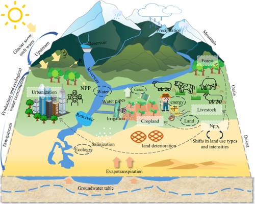
Methodology framework of GIS-LCA. (Image by TIAN Yajun)