Newsroom


Landsat satellite imagery is affected by a hidden "visual error" that has long undermined the accuracy of water quality assessment. A research team from the Nanjing Institute of Geography and Limnology (NIGLAS), Chinese Academy of Sciences, has "corrected" this error on a global scale.
With PhD candidate YANG Chen as the first author, Dr. SHEN Ming and Prof. DUAN Hongtao as co-corresponding authors, a recent research paper analyzed over 1,000 sets of global field measurements and identified the root causes of the inaccuracies. By recommending the ready-to-use MAIN algorithm, the research provides a quality-control benchmark and an efficient tool for the scientific community.
"Our study ensures that 40 years of Earth archives can be used reliably to monitor water resources and safeguard the global environment," said Prof. Duan.
The findings were published in the ISPRS Journal of Photogrammetry and Remote Sensing.
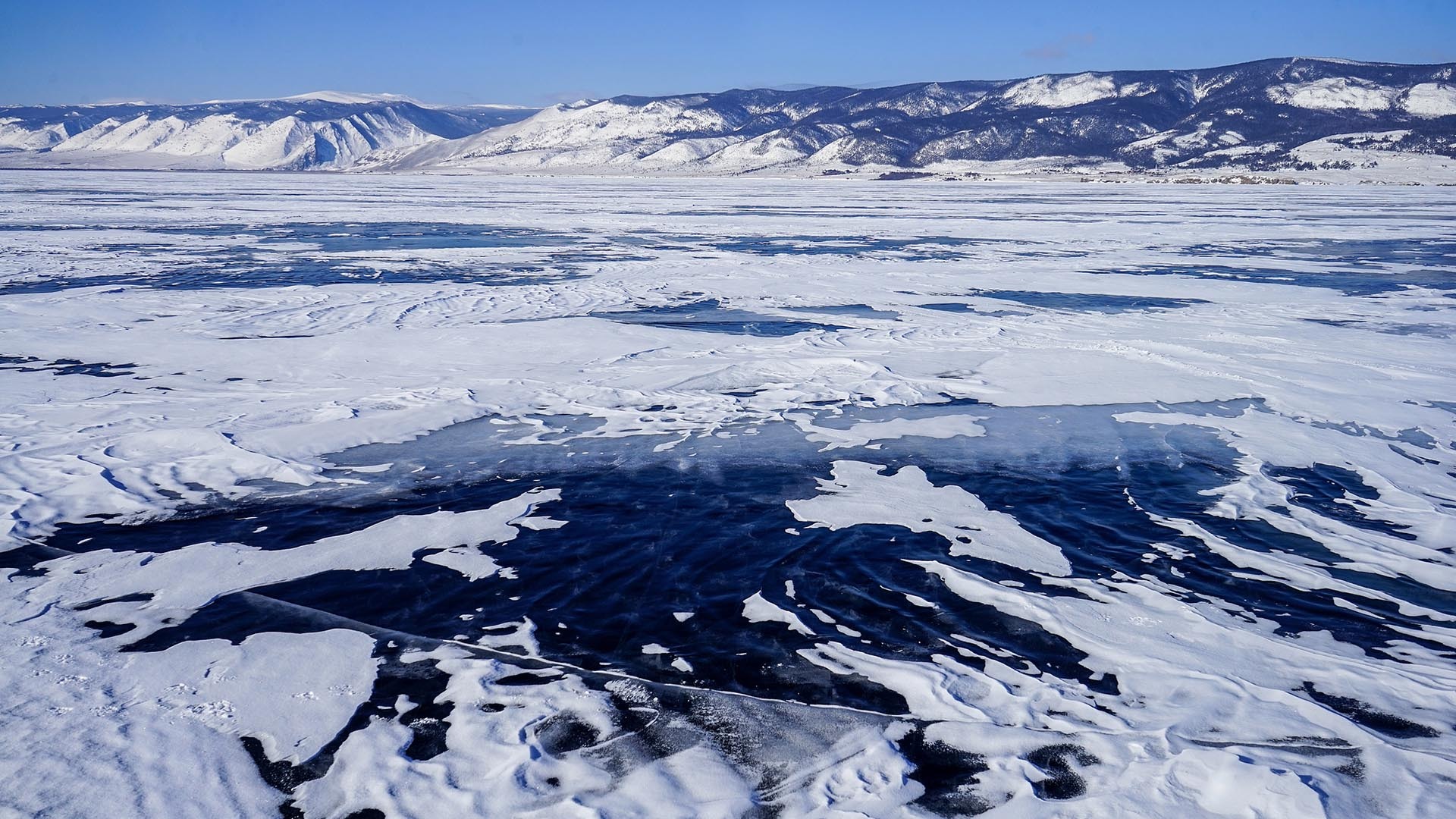
For over 40 years, the Landsat satellite series has acted as Earth's "photographer," archiving a massive library of global surface imagery. Recently, with the rise of cloud-based platforms like Google Earth Engine (GEE), scientists have been able to process these valuable imagery archives to assess the health of rivers and lakes worldwide.
However, the accuracy of these assessments has long been compromised by a hidden visual bias. The standard Landsat Surface Reflectance products typically used in GEE rely on atmospheric correction algorithms developed for land surfaces. When applied to water with very low water-leaving signals, these algorithms often fail, leading to substantial misestimation of water quality.
The study identified two key limitations with Landsat surface reflectance data over inland waters.
First, when water bodies are near bright objects like clouds or snow, land-based "aerosol correction" algorithms tend to over-compensate. This results in unrealistic "black patches" (artifacts) on the imagery. The hallmark of this error is a negative reflectance value at 443 nm. This issue affects an average of 13% of global inland water pixels. If ignored, relative error in retrieving key indicators, such as suspended particulate matter (SPM) concentration, can exceed 100%.
Second, cross-sensor inconsistency causes data gaps. Analyzing decades of water quality requires stitching together data from Landsat-5, 7, 8, and 9. However, differences in sensor configuration and algorithms across generations create significant reflectance shifts over inland waters. These inconsistencies introduce significant uncertainties into long-term environmental trend analysis.
After testing various optimized algorithms on GEE (including SIAC and MAIN), the researchers concluded that the MAIN algorithm, based on the "Short-Wave Infrared black pixel" assumption, is currently the best choice.
By avoiding over-correction, MAIN removes artifacts in images, restoring true spatial patterns. Also, it provides a consistent framework across different satellites, improving temporal consistency by over 90% and enabling a seamless 40-year data record. Already deployed on the GEE platform, the algorithm allows researchers to generate high-quality water reflectance products directly in the cloud without downloading massive datasets.
For those who must continue using official products, the researchers suggest a simple preprocessing fix: Discard pixels where CA < 0. This low-cost step significantly reduces artifact contamination.